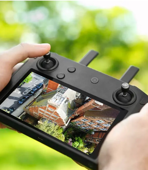
We Specialise in Drone Services, and Aerial Photography
We provide expert retrofit surveying and high-precision aerial mapping services to support energy efficiency upgrades and informed project planning. Using the latest in ground and drone-based technology, we deliver accurate, actionable data to installers, developers, and property owners across the UK—quickly, safely, and reliably.
- On-Site Data Retrieval
- Precision Flight Control
- Automated Mapping Routes
How Our Process Works
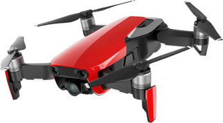
150
Satisfied Clients2160
4K Resolution300
Flight Time120
Projects CompletedPrecision, Safety, Trust.
We take pride in delivering high-quality aerial inspections with a focus on accuracy, safety, and professionalism. Every survey is carried out using advanced drone technology, operated by experienced pilots who understand the importance of reliable data and client trust. Whether it's for property assessments, retrofit surveys, or post-install maintenance planning — we’re here to provide clear, detailed results you can depend on.
What Our Clients Say About Us.
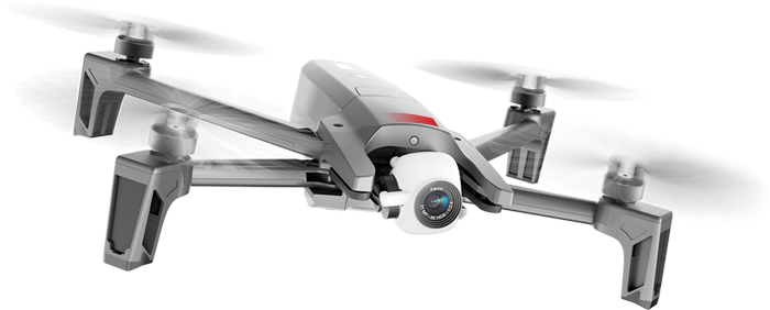
SkylineUAV provided a fast, professional drone survey that exceeded expectations. Their attention to detail, clear reporting, and safety-first approach made the entire process a doddle. Highly recommended for aerial inspections and roof solar surveys.

Working with SkylineUAV was seamless from start to finish. The assessor delivered excellent data and modelling that really improved our project planning. Professionalism and quick turnaround made them a top choice for us.

SkylineUAVs drone surveys saved us time and money by spotting issues we couldn’t see from the ground. Their detailed reports helped us plan repairs quickly, order materials accurately and get the job done right the first time.


